Coomcallee mountain south of Cloonaghlin Lough, about 10 km Northeast of Waterville
Cloonaghlin Lough with surrounding hills
Clogharee Lough and Loch Atlea to the Northeast of Connor Hill, Dingle peninsula, County Kerry. View from the Connor Hill road.
View of the Mac Gillicuddy´s Reeks or Na Cruacha Dubha from the west shore of Lough Caragh, near Glenbeigh, County Kerry
Clouded peak of Cloonaghlin hill, rising from the east shore of Cloonaghlin Lough
Snow capped Knocknadobar or Cnoc na dTobar rises over Valentia lighthouse
Wintery Cnoc na dTobar and Iveragh mountains as seen from Kilkeaveragh, high above Port Magee.
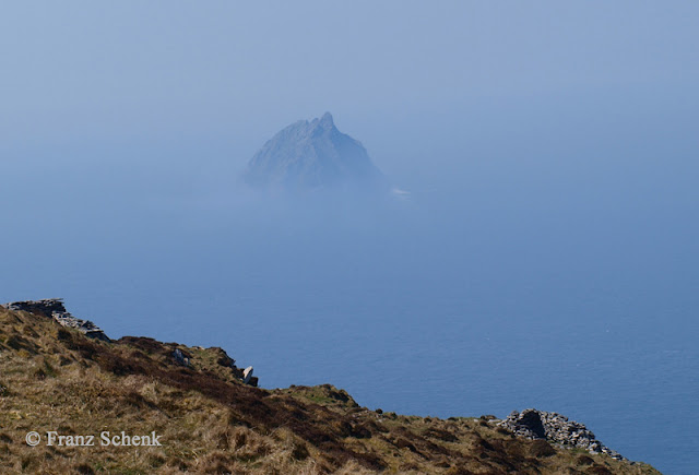
Mist shrouded St. Michael rising from the sea as seen from the path leading to Croaghmore peak on the Great Blasket Island.
Dingle mountains with white hats, seen from Geokaun hill on Valentia Island, County Kerry.
Farraniaragh Mountain as seen from the Kerry Way leading from Waterville to Caherdaniel.
All photos by © Franz Schenk


Excellent photos Franz, stunning views, very well done! I love them. Dave.
ReplyDelete